 |
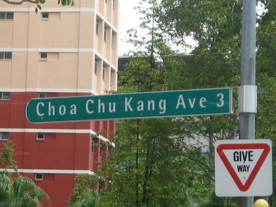
| Typical road name sign Source: SRX |
We know the key areas that the JRL intends to serve:
- Choa Chu Kang
- Tengah
- Jurong East
- Jurong West
- Jurong Industrial Estate
- NTU
- West Coast
With these areas in mind, it is easy to determine the roads that the network (JRL is a series of services rather than a single line) may run along.
In Choa Chu Kang, the network is likely to run along Choa Chu Kang Avenue 3. After running parallel along the existing North South Line (NSL) and Bukit Panjang LRT (BP LRT) tracks, it will likely turn onto Choa Chu Kang Avenue 3 to head towards Tengah. Avenue 3 provides the most direct link between Choa Chu Kang and Tengah, negating unnecessary twists and curves which would be needed if another alignment were chosen.
 |
| Location of Choa Chu Kang Avenue 3 in relation to Tengah and other roads in Choa Chu Kang. Source: Google Maps |
For the alignment in Tengah, as the town's final plans have yet to be made available, it is likely that the road network will be planned to accommodate the JRL. This is a similar situation to Sengkang and Punggol where the LRT systems there were integrated into the road planning as well. It is expected that the network will branch out from Tengah towards Jurong West and Jurong East.
 |
| Tengah New Town masterplan - stations J3, J4, J5 and JE1 are located along road corridors Source: Ascent Environmental |
 |
| Jurong East terminus for High Speed Rail Source: Straits Times |
No comments:
Post a Comment